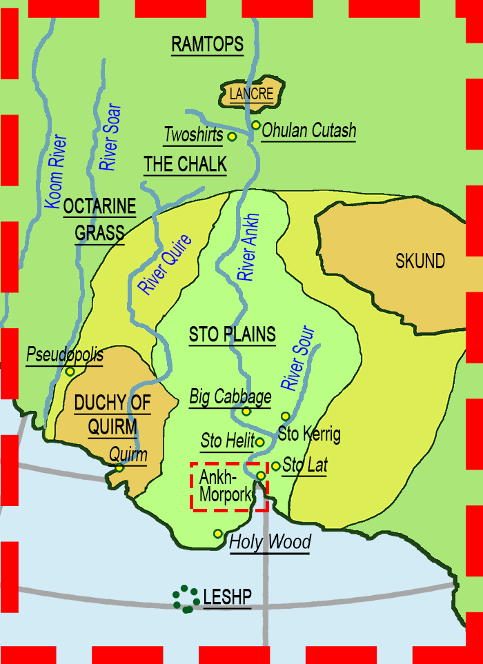
Map regions
Close this window
- » Ankh-Morpork...
- » Big Cabbage
- » Holy Wood
- » Lancre
- » Leshp
- » Octarine Grass Country
- » Ohulan Cutash
- » Pseudopolis
- » Quirm
- » Ramtops
- » Sto Helit
- » Sto Lat
- » Sto Plains
- » Chalk
- » Twoshirts
Map sections
Ankh-Morpork area
-------------------
Close this window
Using the map
The map has been developed so collectors can see with which region or location the stamps are associated. It is not necessarily where the stamps were produced.
Regions or countries are shown in upper case and underlined. Towns and locations are identified by yellow spots and the name in italics.
Hovering over a link will display some relevant details.
The tab on the left hand side can also be used.